
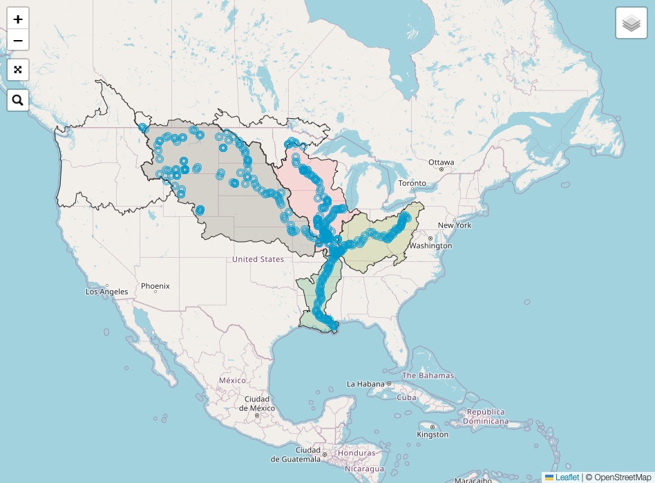
Watershed Cairns
The Watershed Cairns project was created by Libby Reuter and Josh Rowan to raise awareness about water quality. They photographed cairns Libby created from found objects in many of the watersheds in the Mississippi regional watershed.
RiverWest Group was contracted to add an interactive map illustrating where each of the watershed cairns were photographed. The map can be navigated with a mouse on a workstation or finger gestures on a touchscreen. Additionally, each of the cairn locations are searchable by name. Clicking on a watershed will display the population and households that reside within the boundaries of that watershed.
The data is from the U. S. Census Bureau, U. S. Geological Service, and Statistics Canada.
The open source mapping library, Leaflet, was utilized for the interactive map.
Watershed Cairns website https://www.watershedcairns.com/